
Barry has been better than I about keeping up with our travels. I have some catching up to do! Be sure to check out his posts as well. He takes better photos with a better camera!
Here are a few of our travels on the south side of Cork, and beyond.
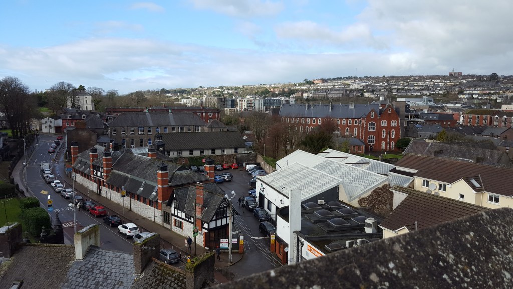
One of our first walks south of city centre we discovered the Elizabeth Fort, which Barry describes fully in his post. I used the opportunity to take a few shots of the surrounding neighborhood.
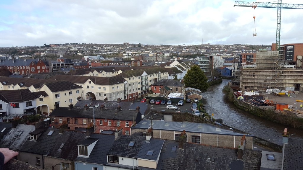
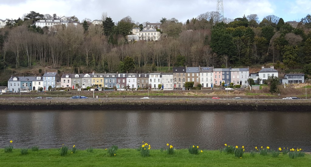
That large construction project with the crane is at the opposite end of Main Street from our apartment. It’s walled off from the street, so you can’t see much of what’s going on inside. On the wall, they list the architect, builders, etc., and I was interested to see that they also have an archaeologist on the project.
The site was in the news today, when a “treasure trove” of documents from the 1790‘s were found in an old safe. Apparently at the heart of the construction is an old Beamish brewery, that from the photos appears similar to the Tudor style building below. The documents are related to that and to properties all around the city.
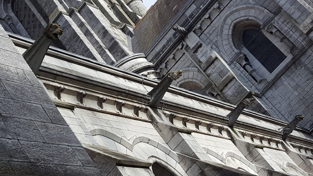
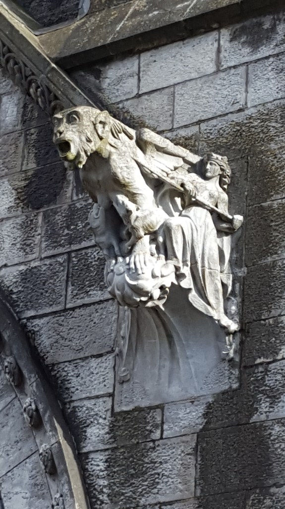
We also walked around St. Fin Barre’s cathedral a bit. There was a service going on so we did not go inside. The architecture was quite stunning — especially the gargoyles.
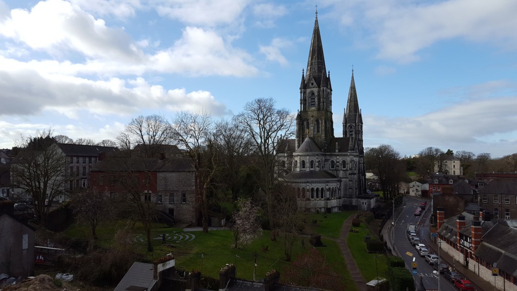
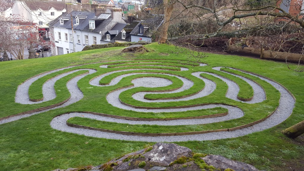
My favorite part of this trip, though, was discovering the labyrinth, which was lovely to walk. I may return.
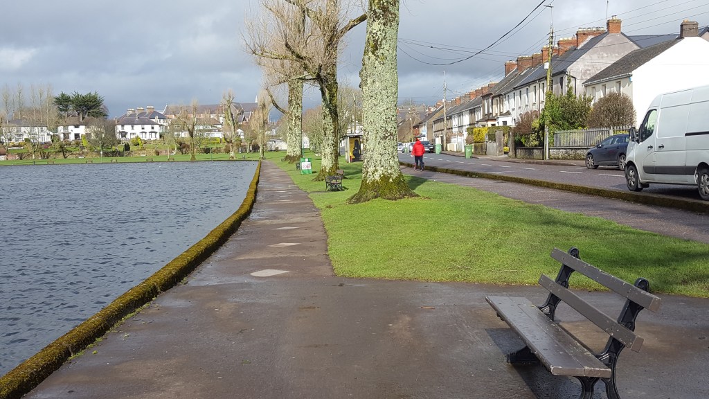
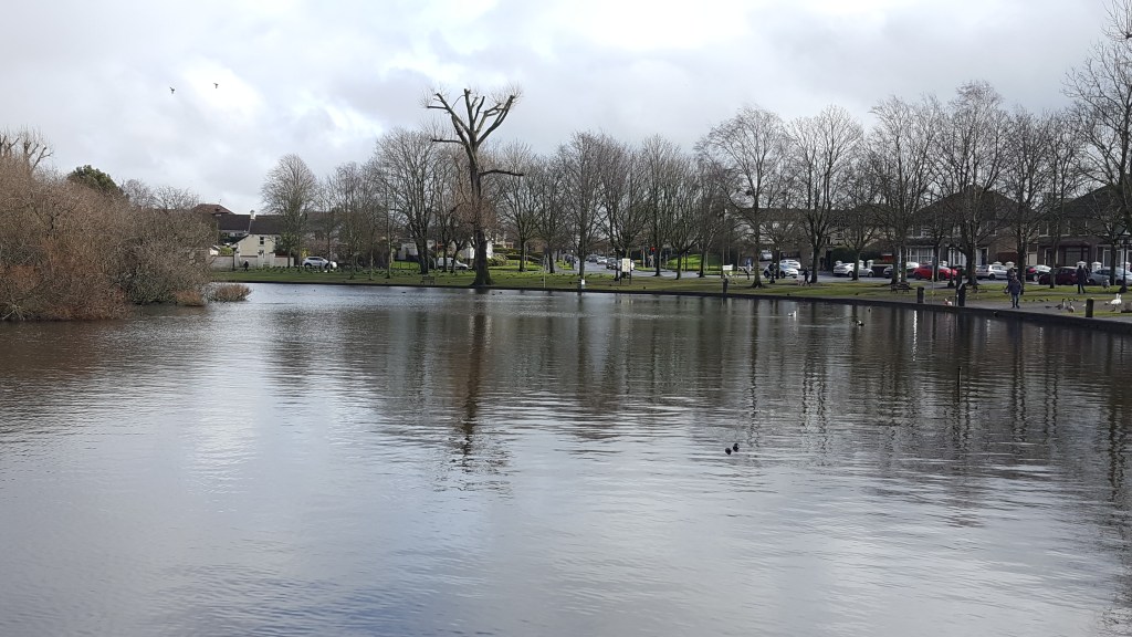
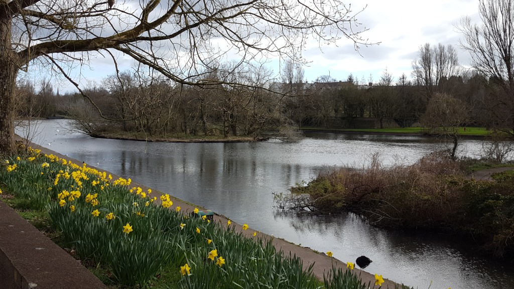
We found ourselves back in this part of town recently, and decided to venture a little further out to The Lough, a small urban lake.
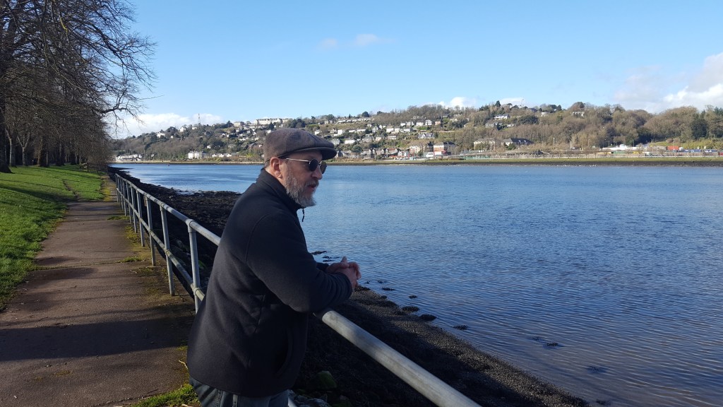
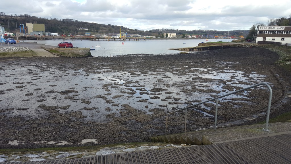
We took another impromptu walk recently to Blackrock Pier. We’d run an errand on that side of town, decided to have brunch there, and then just kept walking. We’d been out that way before, to Blackrock Castle, but this time, we walked along the river.
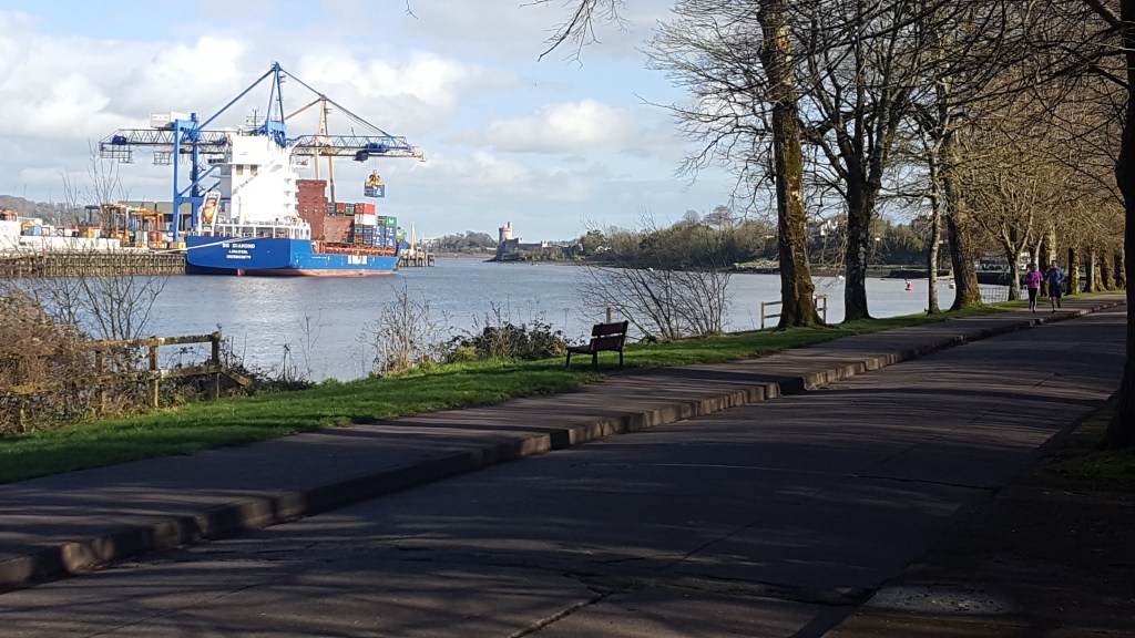
Before we reached the river, we walked through one of the more industrial neighborhoods than we’d seen to date. We were surprised that the sidewalk was so much wider and better paved than in most of the city, where a lot of the sidewalks are quite old. There were tons of joggers for a neighborhood that didn’t seem to generate a lot of pedestrian traffic. But that road connected to the greenway along the river, than in turn intersects with a greenway that goes a considerable way south of the city (which we hope to visit this month!) So the sidewalk was truly as much a greenway as a sidewalk.
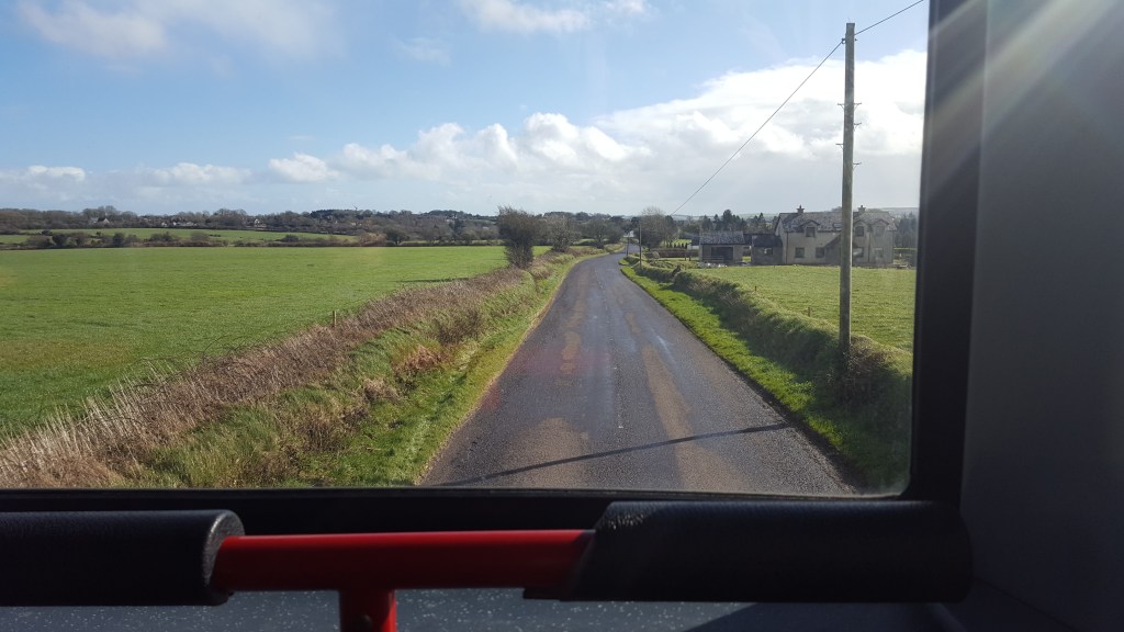
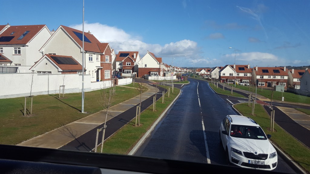
I wrote earlier about our walk out to the village/neighborhood of Douglas. It was one of our longer walks, but we managed it without hopping a bus either way. This week we decided to go even further south, though, to the harbor village of Crosshaven. Be sure to look at Barry’s photos from this trip, the one of the sailboats and the wind turbine is spectacular!
This was our first trip that was long enough that we had to take the bus both there and back. The bus ride was about 40-45 minutes long. We quickly discovered that the best seats for curious tourists are the front seats on the top of the double decker.
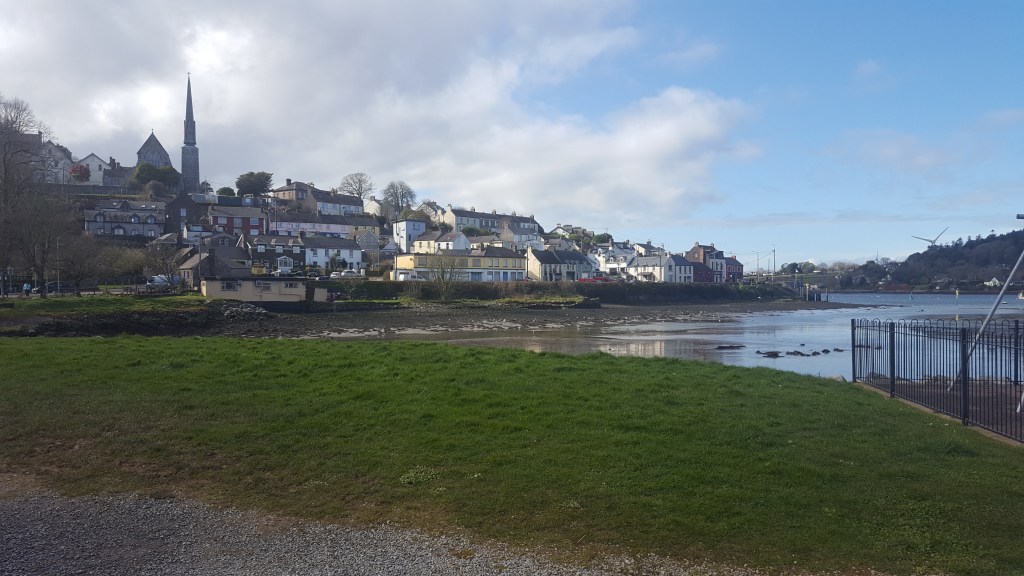
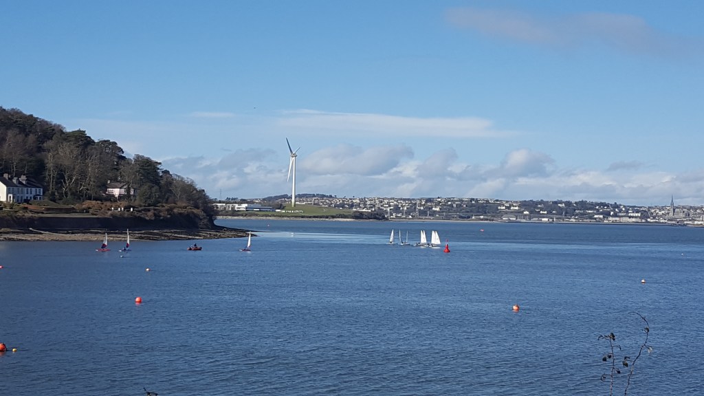
This was the first place we saw actual pleasure boats. I’ve been surprised that in the Lee River and Cork Harbour in other places, all the boats have been industrial, with nary a marina to be seen. This was the first place we saw sailboats, and there were lots of them! There appeared to be three different sailing classes going on, as pods of white, red/blue/white, and translucent/red boats went around in circles, or proceeded downwind into the harbor.
There wasn’t a greenway here, but there was a “scenic walk”, a one-lane residential road that went up the hill along the harbor to Camden Fort Meagher.
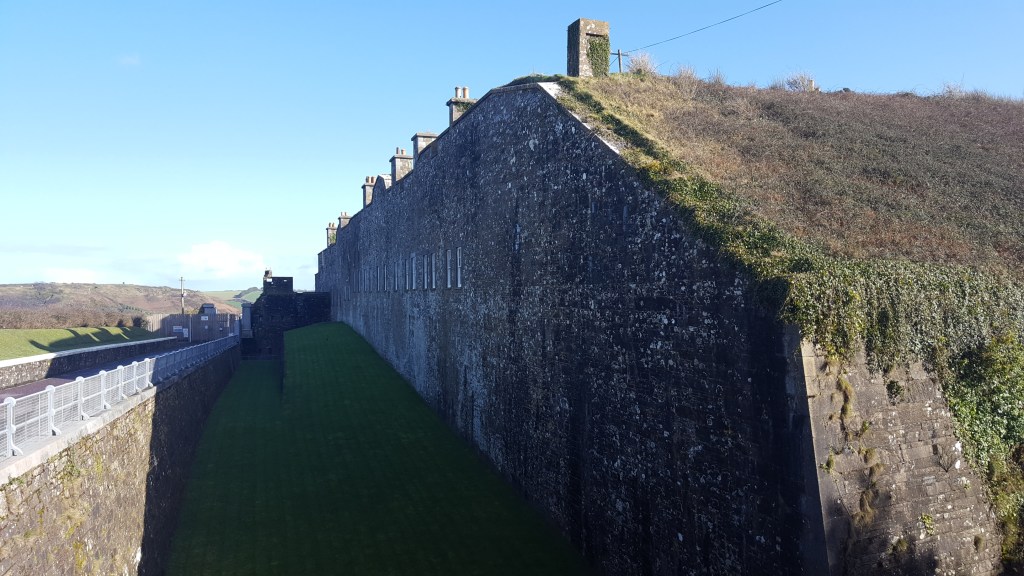
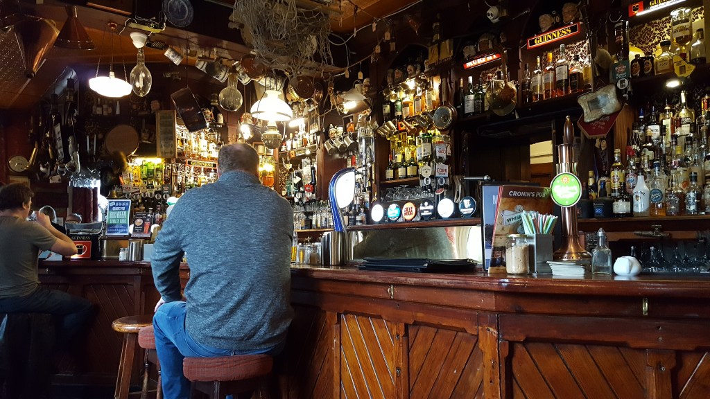
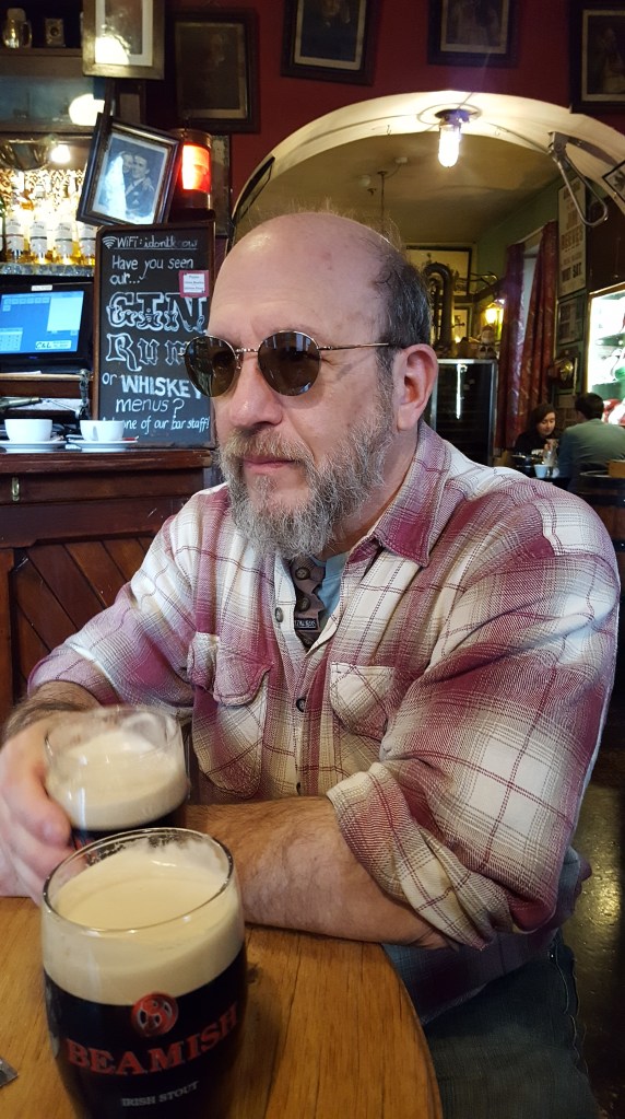
There were other roads and paths that went further, or that cut across the peninsula to the ocean, but this wasn’t a day we were up for a big walk, so we went back into the village for lunch at a lovely pub.
We’ll be heading south again today on the 10:05 bus to Kinsale.
